
Other Services
Need Any
Consultation?
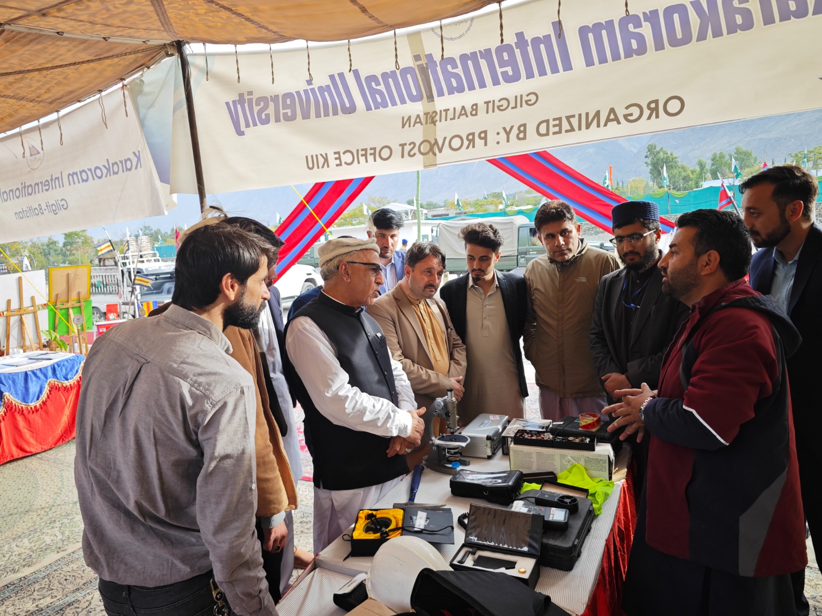
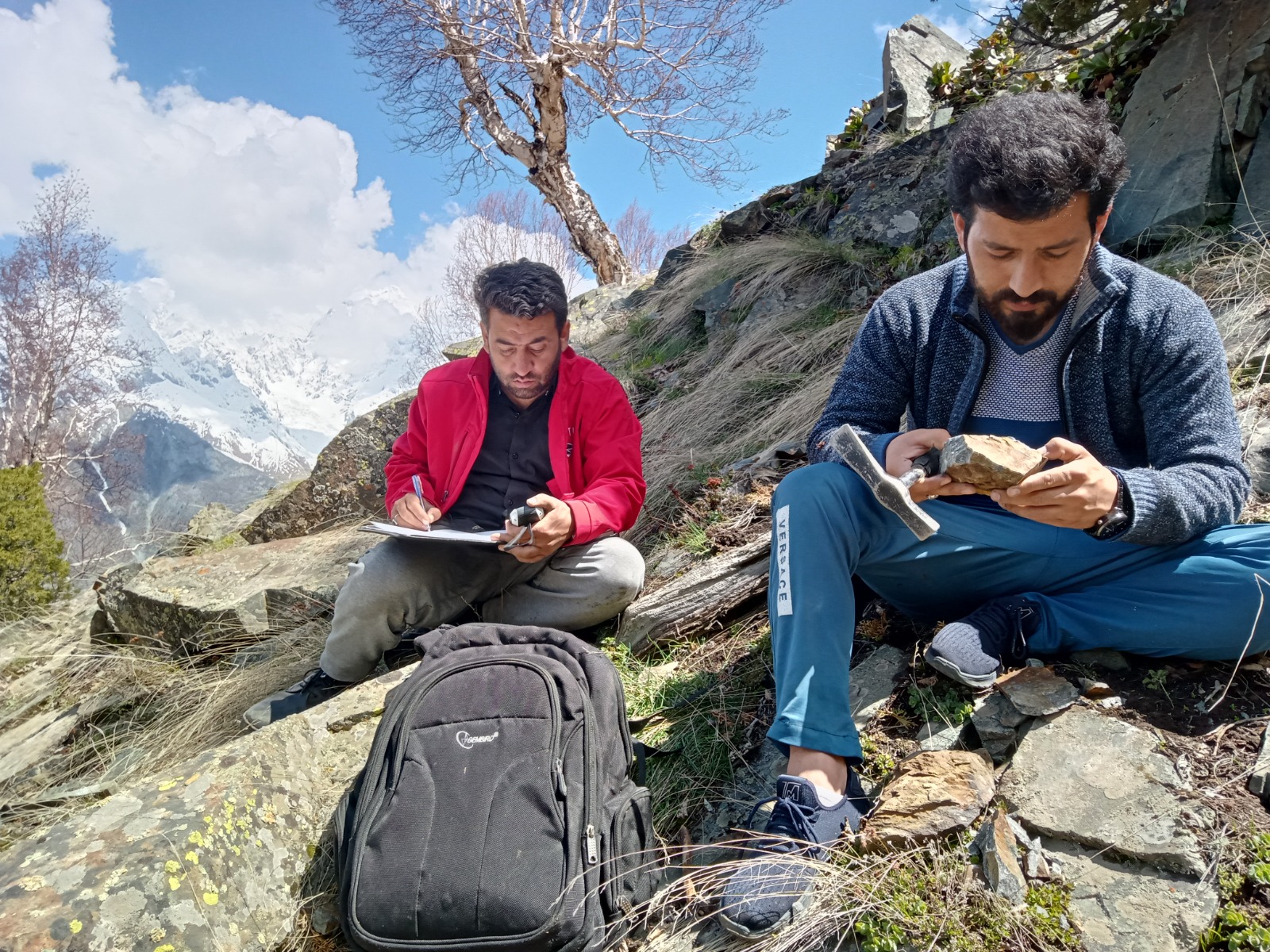
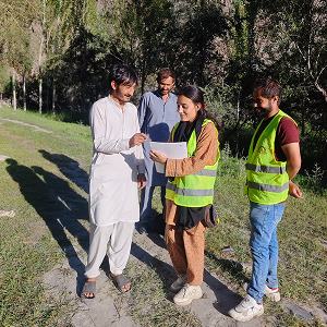
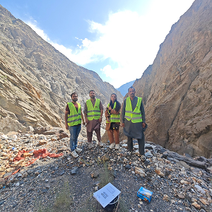
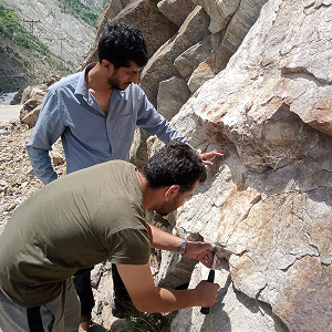
GIS Mapping & Surveying
At Geo Tech Solutions, we integrate Geographic Information Systems (GIS) and advanced remote sensing technologies into our geological, environmental, and mining solutions. Our GIS expertise enhances accuracy, efficiency, and decision-making for resource exploration, land development, and environmental monitoring. By utilizing cutting-edge mapping techniques, we help clients visualize, analyze, and interpret spatial data, ensuring optimal project planning and execution.
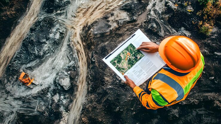
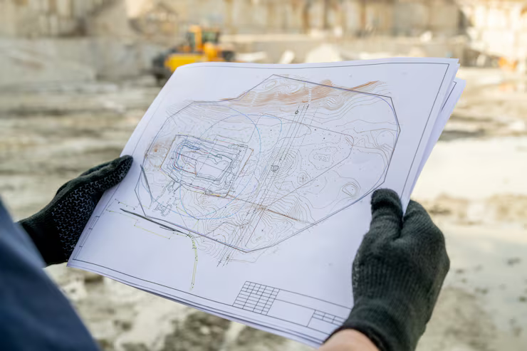
Geospatial Mapping & Analysis
Our GIS-based geospatial mapping services provide comprehensive insights into terrain, geological structures, and mineral deposits. These services support mining exploration, environmental impact assessments, and infrastructure development. Key features include:
- 3D geological modeling for precise resource evaluation and mine planning
- Satellite image analysis to identify mineral-rich zones and geological structures
- Digital terrain modeling (DTM) for high-accuracy topographic analysis
- Hydrological and watershed mapping for sustainable water management
- Land-use and zoning mapping to support environmental and urban planning
Remote Sensing for Exploration
We leverage remote sensing technology to conduct large-scale mineral exploration and environmental assessments. Our remote sensing solutions provide non-invasive, cost-effective, and data-driven exploration methods. Our capabilities include:
- Hyperspectral imaging for detailed mineral identification and classification
- Thermal and infrared surveys to detect geothermal anomalies and subsurface mineralization
- LIDAR surveys for ultra-high-resolution topographic and geological mapping
- Multispectral analysis to assess vegetation cover and detect potential land degradation
Quality Solutions of GIS Mapping & Surveying
We integrate Geographic Information Systems (GIS) and advanced remote sensing technologies into our geological, environmental, and mining solutions. our services include:
Mining GIS & Surveying Solutions
GIS plays a crucial role in modern mining operations by enabling real-time spatial data analysis and decision-making. We use GIS technology for:
- Exploration mapping to define mineralized zones and geological formations
- Mine site planning and design for optimized pit layouts and infrastructure placement
- Ore body modeling and resource estimation using GIS-integrated geological data
- Slope stability analysis to assess geotechnical risks in open-pit and underground mines
- Environmental monitoring and compliance mapping to track land-use changes over time
GIS for Environmental Monitoring & Compliance
Environmental management requires accurate spatial data to monitor ecosystems, pollution levels, and sustainability indicators. Our GIS-driven environmental services include:
- Air and water pollution mapping using spatial analysis techniques
- Carbon footprint and emissions tracking through geospatial monitoring
- Biodiversity and habitat conservation mapping to ensure ecological sustainability
- Deforestation and land-use change analysis using remote sensing data
- GIS-based disaster risk assessment to evaluate environmental hazards
UAV & Drone-Based Surveying
We deploy Unmanned Aerial Vehicles (UAVs) and drone technology for high-resolution aerial surveying and mapping. Our drone surveying services include:
- High-resolution aerial photogrammetry for precise topographic mapping
- Orthophoto generation for accurate land-use and infrastructure analysis
- Mine site monitoring for volumetric calculations and operational tracking
- Drone-based vegetation and landform assessments to support reclamation and rehabilitation
Infrastructure & Land Development Mapping
Our GIS mapping services extend to land development and infrastructure planning, offering spatial solutions for:
- Road and transportation network planning using GIS-based route optimization
- Urban and rural development planning through spatial data analysis
- Geohazard risk mapping to identify landslide-prone and flood-risk areas
- Real estate and property valuation mapping for informed land-use decisions